Hello,
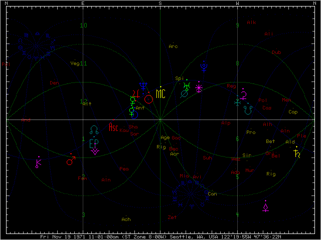
I have a question specifically about local space charts (azimuth and altitude) - which software is best and most convenient to work with? I currently have Solar Fire and WinStar and the former does local space just in a quite limited way, the latter does it better but still isn't good enough to work with as it for example doesn't state altitude anywhere just has altitude graph which isn't good enough. Would need something which clearly states aspects of azimuth and altitude and would be possible to edit these aspects. I've also noticed that altitude for Part of Fortune has different values in both softwares...
Thanks for any help.